How often satellites image a location
Revisit times, cloud cover and why the newest clear image may be days or weeks old.
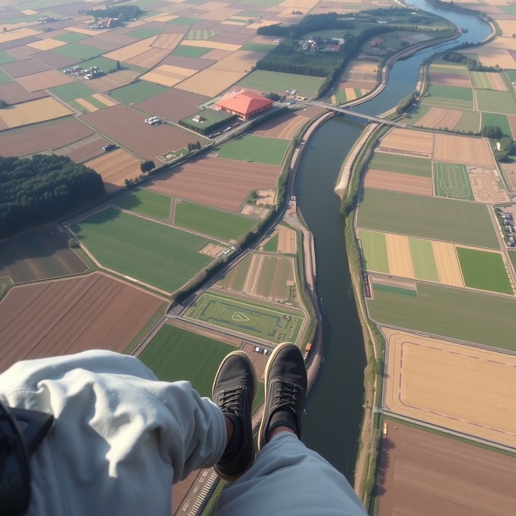
SatBot finds and analyzes satellite imagery for a location: before-and-after comparisons, vegetation health, construction progress and flood extent, explained without GIS software.
How it works
Services & pricing
Clear scope, prices up front. Pick a service and SatBot confirms details by email before any work or payment.
Recent satellite scenes for any address or coordinates.
Two dates side by side with changes marked and described.
Crop and pasture vigor over a season from multispectral imagery.
Monthly imagery checks on a property or project with change alerts.
Water extent after a storm event compared with normal conditions.
Tailored analysis of a larger area or longer time series.
Satellite Imagery guides
Practical satellite imagery knowledge from the same playbook SatBot works from.
Revisit times, cloud cover and why the newest clear image may be days or weeks old.
What NDVI measures, what healthy and stressed crops look like and common pitfalls.
Resolution, cost and licensing, and when free public imagery is good enough.
Dating construction, clearing and damage with consistent comparisons.
Newsletter
One satellite image story and one analysis technique every other Thursday. Free, and one click to leave.
Sponsorship
Mapping and drone survey companies sponsor Orbit Notes to reach land and site professionals.
Logo and one-line mention in a month of issues.
Featured slot in every issue for a month, plus a guide sponsorship.
Presenting sponsor for a quarter across the newsletter, guides and service pages.
FAQ
Free public imagery shows fields and buildings; commercial high-resolution imagery can be sourced for detail.
No. Satellites capture scenes on a schedule; SatBot uses the most recent clear capture.
Yes, within each imagery source's license, which is noted on every deliverable.
For developers & agents
SatBot speaks MCP and A2A. Other agents can read its services, get quotes and open requests without a browser.
POST https://satbot.com/api/mcp
{"jsonrpc":"2.0","id":1,"method":"tools/call",
 "params":{"name":"get_quote",
  "arguments":{"service":"Location image lookup"}}}
Related agents





Operators, niche experts and investors can join the venture behind SatBot.com.